Menu

Ireland's sailing, boating & maritime magazine

Marine Notice: Seabed Mapping Operations Off West Coast

2nd April 2016
Marine Notice: Seabed Mapping Operations Off West Coast

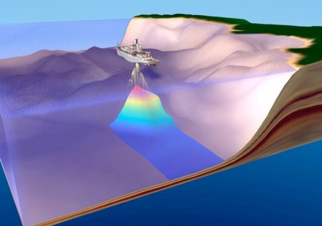
#MarineNotice - The latest Marine Notice from the Department of Transport, Tourism and Sport (DTTAS) advises that V.Ships Ltd will be carrying out seabed mapping operations off the West Coast of Ireland.

The work started today (Saturday 2 April) and will last for approximately 14 days, weather permitting, carried out by the Survey Vessel John Lethbridge (Callsign H8PY).

The vessel, towing equipment including a sonar scanner, will display appropriate lights and markers and will be listening on VHF Channel 16 throughout the project.

Details of co-ordinates of the work area are included in Marine Notice No 13 of 2016, a PDF of which is available to read or download HERE.

Published in Marine Warning
MacDara Conroy

About The Author

MacDara Conroy

Email The Author

MacDara Conroy is a contributor covering all things on the water, from boating and wildlife to science and business

We've got a favour to ask

More people are reading Afloat.ie than ever thanks to the power of the internet but we're in stormy seas because advertising revenues across the media are falling fast. Unlike many news sites, we haven’t put up a paywall because we want to keep our marine journalism open.

Afloat.ie is Ireland's only full–time marine journalism team and it takes time, money and hard work to produce our content.

So you can see why we need to ask for your help.

If everyone chipped in, we can enhance our coverage and our future would be more secure. You can help us through a small donation. Thank you.

Direct Donation to Afloat button