


Displaying items by tag: iCRAG
Survey of North Celtic Sea Next Month to Support Research on Carbon Capture
The Irish Centre for Research in Applied Geosciences (iCRAG) at University College Dublin will undertake its InStor survey to acquire data for leakage monitoring for carbon capture and storage in the North Celtic Sea next month.
Supporting ongoing research at iCRAG, the survey’s aim “is to investigate and characterise the existing seabed morphologies which are related to passive and active seepage of fluids, such as pockmarks and mounds, and to provide new high-resolution geophysical datasets along with geochemical data, which will be used to create an integrated baseline geological model and form the basis for understanding the current status of complex processes in the survey area.”
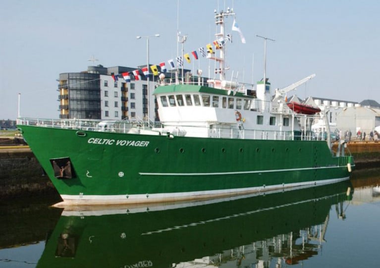
Weather depending, the survey will be carried out between 19 and 26 March by the RV Celtic Voyager (callsign EIQN) which will display appropriate lights and signals. Work will be performed in accordance with safe operating practices regarding MMO procedures and cognisant of fishing gear.
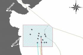
Coordinates of the survey area as well as contact details are included in Marine Notice No 13 of 2022, which is attached below.
Marine Notice: Survey for Fibre Optics in Site Investigations in North Irish Sea Next Month
The latest Marine Notice from the Department of Transport advises that a survey to investigate the use of fibre-optic cables in site investigations will be carried out in the North Irish Sea next month.
This survey from 16-25 March is being carried out in support of ongoing research at the Irish Centre for Research in Applied Geosciences (iCRAG).
The equipment and techniques to be used include:
- Distributed Acoustic Sensing (DAS) using fibre-optic cables: A 1000m length of fibre optic cable will be placed temporarily on the seabed in order to carry out the survey. The position of the cable will be marked using surface buoys.
- OBS deployment: Two ocean bottom seismometers will be deployed and will remain in position until retrieval at the end of the survey.
- Sparker seismic profiling: This will be carried out as mobile work towing a transducer a short distance behind the work vessel.
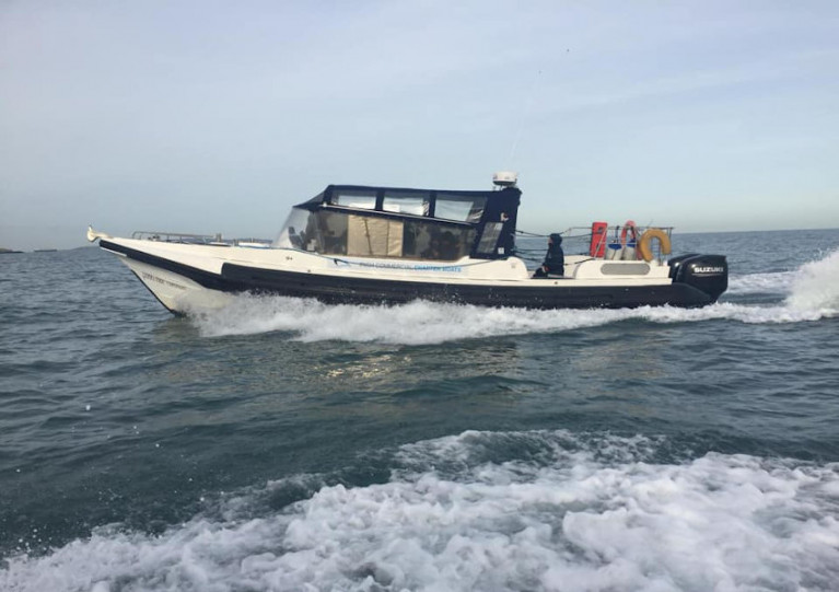
The survey will be conducted by the RV Celtic Voyager (Callsign EIQN) and Fionn Mac Cumhaill (Callsign EIDN2). The two vessels will work close by each other and the latter is assisting with marine mammal observer work.
The vessels will display appropriate lights and signals. Mariners should note that seismic surveying using DAS equipment will be performed during daylight hours.
Further details including relevant coordinates can be found in Marine Notice No 08 of 2021, a PDF of which can be downloaded below.
Sediment Wave & Sand Bank Survey Continues In South Irish Sea
The next legs of the Mobility of Sediment Waves and Sand Banks in the Irish Sea (MOVE) Survey begin tomorrow, Wednesday 23 September, according to the latest Marine Notice from the Irish Maritime Administration.
As previously reported on Afloat.ie, the survey is being carried out in support of ongoing research at the Irish Centre for Research in Applied Geosciences (iCRAG).
The latest two legs of the survey will take place from 23-28 September and from 7-19 October in the south Irish Sea.
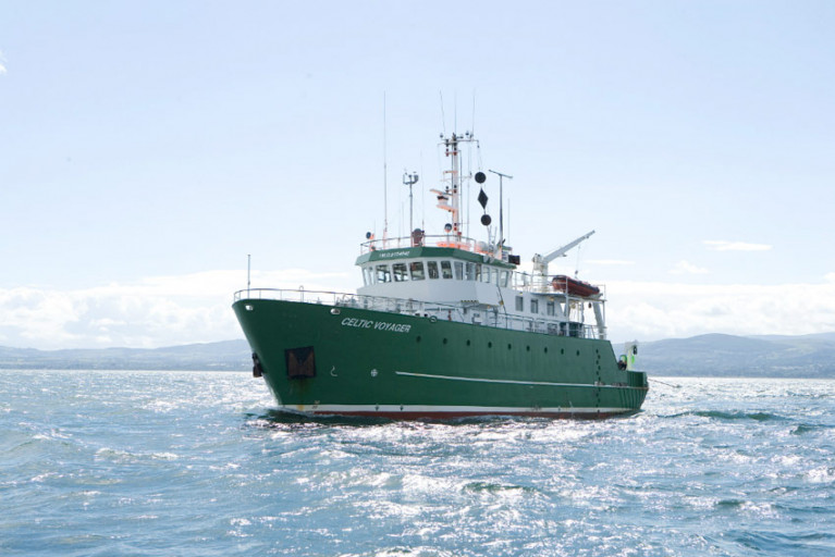
Works will be carried out by the RV Celtic Voyager (callsign EQIN) using a variety of equipment and techniques, including ADCP, multibeam sonar and sediment sampling.
All works will be performed on a 24-hour schedule and the vessel will display appropriate lights and signals.
Details of all works entailed and the survey areas are included in Marine Notice No 43 of 2020, a PDF of which is available to download below.
The Mobility of Sediment Waves and Sand Banks in the Irish Sea (MOVE) Survey will be carried out from Tuesday 31 March until Monday 13 April in the south Irish Sea, according to the latest Marine Notice from the Department of Transport, Tourism and Sport.
This survey is being carried out in support of ongoing research at the Irish Centre for Research in Applied Geosciences (iCRAG).
The survey will be carried out by the RV Celtic Voyager (callsign: EQIN) using a variety of equipment and techniques, including ADCP, multibeam sonar and sediment sampling.
Work will be performed on a 24 hour schedule and the vessel will display appropriate lights and signals.
Details of all works entailed and the survey area are included in Marine Notice No 12 of 2020, a PDF of which is available to read or download HERE.
Marine Notice: Geohazard Investigation In Irish Sea
A geohazard investigation to provide support for ongoing research at the Irish Centre for Research in Applied Geosciences (iCRAG) will be undertaken in the Irish Sea from Thursday 24 October until Wednesday 6 November, weather dependent.
The locations of these works at various shipwreck sites off the Louth coast are provided in Marine Notice No 41 of 2019. The equipment and techniques to be used include:
- Surveying using multibeam echo sounders and shallow seismics (pinger);
- Passive acoustic monitors (PAM) deployed at the indicated locations near the seabed to record acoustic data;
- Seismic sparker equipment to reveal subsurface structure and features;
- Sediment core taken at indicated locations to characterise the lithological characteristics of the seabed with grab samples taken within a 3nm range of these locations.
The surveys will be completed on a 24-hour schedule by the RV Celtic Voyager (callsign EIQN) which will display appropriate lights and signals.
Acoustic surveying using a multibeam echo sounder and seismic sub-bottom surveys using a sparker/pinger system will be performed during both day and night operations in accordance with safe operating practices regarding MMO procedures and cognisant of fishing gear.
Sediment sampling using cores will be carried out during daylight hours due to limited ship mobility. PAM units will be deployed and retrieved at both night and day as dictated by survey conditions.
Full details of the survey locations as well as contact information are included in Marine Notice No 41 of 2019, a PDF of which is available to read or download HERE.


 with (from left) the Marine Institute’s Fiona Grant, Dr Niall McDonough and Joe Silke during her visit to the institute’s Galway headquarters on Friday 5 April")


 Michael Murphy Schull Harbour Sailing Club (SHSC), Eric Coogan Heineken Ireland, Mark Murphy, Commodore SHSC, Jack Allen SHSC, Carmel O'Regan SHSC, Cornelious Ndlovu, Schull Harbour Hotel Operations Manager and Derval Murphy SHSC")


