


Displaying items by tag: Ocean Mapping
Workshops For Ocean Mapping Software In Galway Next Month
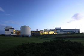
#MarineScience - The Marine Institute will host a three-day workshop on some of the latest technology for ocean mapping next month when the CARIS World Tour stops off in Galway from Tuesday 15 to Thursday 17 November.
Information sessions, detailed demonstrations and hands-on software exercises will be the order of the week in an opportunity for the marine science community to learn about the next generation of CARIS software architecture and its benefits to the hydrographic industry.
Topics will include near real-time sonar data processing, variable resolution surfaces, IHO S-100 and related product specifications, as well as updates on the latest tools and features for efficient hydrographic information processing, management, production and discovery.
The CARIS World Tour will be relevant to surveyors, data processors, cartographers and GIS technicians, as well as managers and decision makers who want to understand the latest technology and trends in ocean mapping.
Participants can register to attend one, two, or all three days of workshops. Visit the CARS website to register and view the agenda HERE.
In related news, London’s School of Economic Science is hosting a marine data management and GIS workshop on Tuesday 22 November.
Under the theme ‘Is poor data management putting your operations at risk?’, the free workshop will examine how GIS technology and OceanWise products and services can deliver efficiencies. Register for this OceanWise event HERE.


")


 Michael Murphy Schull Harbour Sailing Club (SHSC), Eric Coogan Heineken Ireland, Mark Murphy, Commodore SHSC, Jack Allen SHSC, Carmel O'Regan SHSC, Cornelious Ndlovu, Schull Harbour Hotel Operations Manager and Derval Murphy SHSC")


