Displaying items by tag: NASA
Space agencies in Europe and the US have signed a partnership to monitor rising sea levels and temperatures, melting ice, thawing permafrost and other impacts of climate breakdown.
NASA in the US and the European Space Agency (ESA) formalised the partnership this week with a “statement of intent”.
The agreement signed by ESA director-general Josef Aschbacher and NASA administrator Bill Nelson aims to “pave the way to leading a global response to climate change”, the organisations state.
“Climate change is an all-hands-on-deck, global challenge that requires action – now,” Nelson said.
“NASA and ESA are leading the way in space, building an unprecedented strategic partnership in Earth science,” he said.
“ This agreement will set the standard for future international collaboration, providing the information that is so essential for tackling the challenges posed by climate change and helping to answer and address the most pressing questions in Earth science for the benefit of the US, Europe, and the world,” he added.
This is not the first time ESA and NASA have joined forces – both bodies worked together on field campaigns in the Arctic to validate respective missions.
The two agencies also work together and with other partners on the recently launched Copernicus Sentinel-6 mission, a new project to extend the long-term record of sea-level rise.
In May, NASA announced its Earth System Observatory, which will design a new set of Earth-focused missions to provide key information to guide efforts related to climate change, disaster mitigation, fighting forest fires, and improving real-time agricultural processes.
This week’s joint statement of intent “complements activities underway for the Earth System Observatory”, they state.
Both ESA and NASA are currently defining a new gravity mission to shed new light on essential processes of the Earth system, such as the water cycle.
This will ‘weigh’ water in its various locations, such as underground and in the oceans, to understand water mass distribution and transport, they explain.
Josef Aschbacher said that “without doubt, space is the best vantage point to measure and monitor climate change, but joining forces is also key to tackling this global issue”.
“Timing is also important, particularly as we look to the COP26 climate conference later this year, where we have the chance to further make space an integral part of the solution when it comes to climate-change mitigation,” he said.
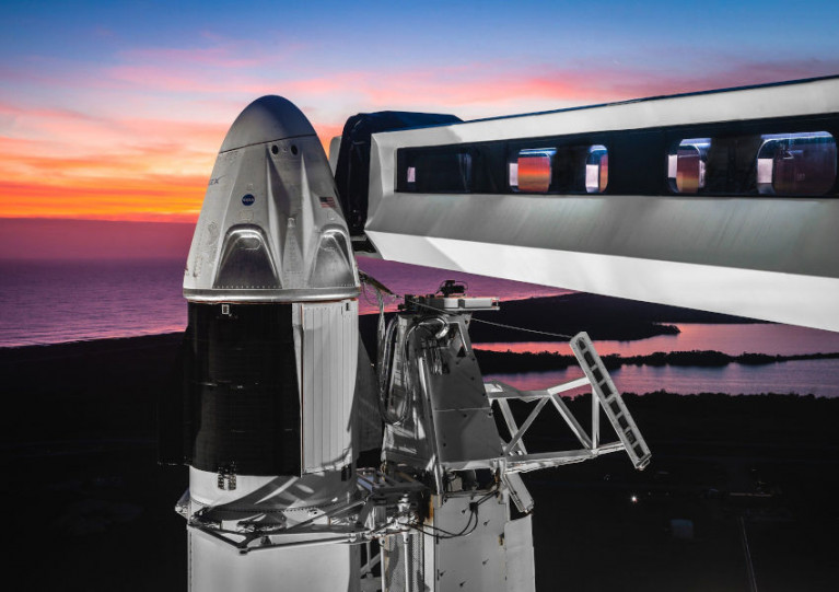
The Irish Coast Guard was on standby for last night’s planned SpaceX launch, which was scrubbed at the final hour due to poor weather conditions.
The Falcon 9 rocket had been due to lift off from Kennedy Space Centre in Florida last night (Wednesday 27 May) with the first US launch of American astronauts in nine years to the International Space Station.
And with the flight path taking taking the SpaceX mission — the first with humans on a commercial spacecraft — around the Atlantic and just past Ireland, the coastguard here was ready to respond if the mission were aborted off Irish shores. The Irish Examiner has much more HERE.
At 21:30 the first launch of humans aboard a commercial spacecraft to the ISS will take place & the Irish Coast Guard is playing a very small part.
— Irish Coast Guard (@IrishCoastGuard) May 27, 2020
CG staff are on standby to lead the SAR operations for the @SpaceX space craft should it be forced to abort the mission. pic.twitter.com/fSTtmUEsZa
While the closing weather window put paid to last night’s launch with minutes to go, it’s possible NASA and SpaceX will try again this Saturday evening 30 May — and it’s expected the Irish Coast Guard will remain just as vigilant.
#Coastguard - The Irish Coast Guard may lead open-sea searches for American space bosses when manned space flights resume, according to the Irish Examiner.
Coastguard chiefs have reportedly been in informal discussions with a senior official from Nasa regarding search and rescue procedures should a manned capsule come down in the North Atlantic.
Nasa's planned launch trajectory for rockets to the ISS or the moon, scheduled to resume in 2016, passes the south coast of Ireland within range of the new Shannon-based helicopter Rescue 115.
This means that if a Nasa vehicle were to ditch in those waters, the Irish Coast Guard would take the lead in any search and rescue effort.
The Irish Examiner has much more on the story HERE.
Amazon Chief Finds Apollo Rockets On Atlantic Ocean Floor

#Saturn5 - Hollywood hitmaker James Cameron might have the exploration of the Titanic all sewn up, but Amazon founder Jeff Bezos has just made a deep-ocean discovery of his own.
Reuters reports that a team funded by the online retail boss has pulled up from the depths two engines from the Saturn 5 rocket that sent Nasa's Apollo missions to the moon.
Bezos announced the historic find on Wednesday, explaining how the team found and recovered the two first-stage engines from the ocean floor some three miles below the surface of the Atlantic.
He wrote on the Bezos Expeditions site: "We've seen an underwater wonderland - an incredible sculpture garden of twisted F-1 engines that tells the story of a fiery and violent end, one that serves testament to the Apollo program."
It's not certain what mission the engines were used for as the serial numbers are incomplete, but it's hopeful that their origin can be narrowed down during restoration ahead of their eventual public display.
Ireland’s Countdown to Rocket-Ship Launch!
The RLM which stands for "Ridiculously Large Missile" is the second-largest civilian rocket ever launched in Ireland. In fact the organisers have built a larger one called the BFM: that's "Big Fat Missile".
The spectacular event has previously taken place on the last Sunday of each month since April. Today's launch will be the fifth and final blast-off of this year's rocket season.
Returning to earth, the museum located in the old coastguard station overlooks Greencastle harbour, which has one of busiest fishing fleets in Ireland.The maritime museum and its planetarium will also be open today. For summertime opening hours and admission fees information Tel: (074) 9381363 or visit http://www.inishowenmaritime.com/about.shtml
Greencastle is also conveniently connected by a 15-minute car-ferry service across Lough Foyle to Magilligan in Co. Derry. The route is served by the Foyle Venture, for ferry times and fares visit www.loughfoyleferry.com/


