Menu

Ireland's sailing, boating & maritime magazine

Dublin Bay Boating News and Information

Displaying items by tag: Revised Timetable

Due to ongoing problems in Douglas Harbour, the Isle of Man Steam Packet's sailing timetables for its ferry services have been revised.

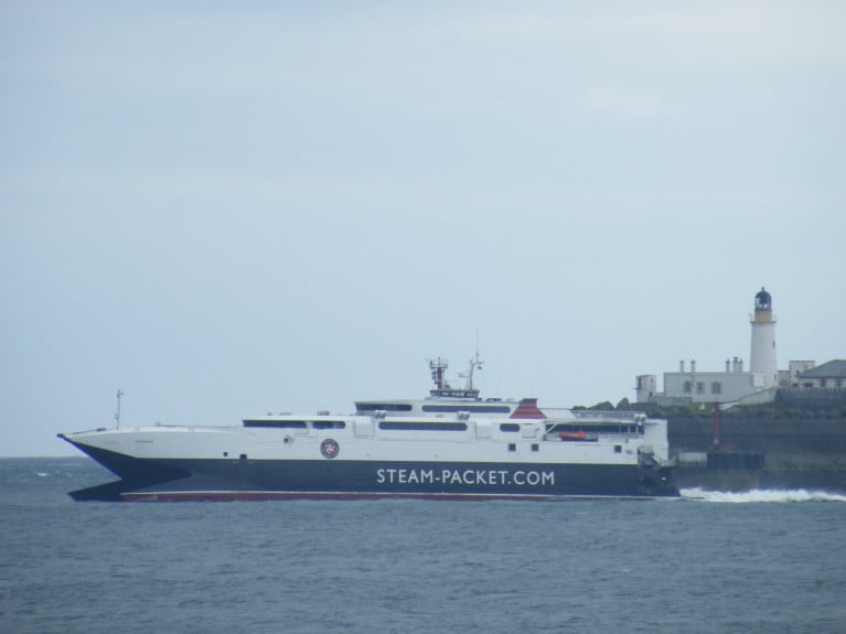
The fast-craft Manannan will run two daytime sailings (today, 31 March) instead of the ro-pax Ben-my-Chree, departing at 9:30am for Heysham, and returning at 2:15pm.

According to Manx Radio, this will continue for the next three days (incl. Easter Saturday, 3rd April).

Ferry company boss Mark Woodward says the adjustments have been made to avoid on confusion in the coming days.

All passengers who're affected by the changes are asked to contact the Steam Packet Reservations Team on 661661.

A full list of the changes can be consulted through the Steam-Packet's website here, where the operator also outlines the combined reasons for problems in the harbour.

Published in Ferry

#Timetable - A revised timetable of Stena Line's Rosslare – Fishguard ferry service will see customers have a choice of three-day time sailings and one extended overnight crossing from 22nd May.

Following the evaluation of extensive customer research and feedback, Stena Line reviewed the existing schedule and has decided to introduce three, more customer friendly 3 hour 15-minute day time crossings, making Rosslare – Fishguard the shortest and fastest crossing between Ireland and South Wales.

From Monday 22nd May, Stena Line will operate the following revised sailing schedule between Rosslare and Fishguard:

Departure Arrival Crossing Time
Rosslare 08:00 11:15 3hr15
Fishguard 13:10 16:25 3hr15
Rosslare 18:10 21:25 3hr15
Fishguard 23:45 04:00 4hr15*

Ian Davies, Stena Line’s Trade Director, Irish Sea South commented: “The new timetable will reduce the crossing times on some of our sailings by 15 mins and provide a greater choice of convenient sailing times and better arrival times. The recent investment in the Stena Europe ship has further enhanced our service offering for 2017, providing new opportunities which currently do not exist in the market for our travel and freight customers.”

Ian added: “We have conducted a lot of research and spoken with many of our freight and travel customers, listening to what they had to say about our current sailing timetable and ways in which we might improve the service in the future. We believe we have now addressed the points raised and our staff are constantly engaging with customers to ensure a smooth transition. In fact, we have already received positive feedback and believe that the vast majority of our customers will welcome these changes.”

*Overnight sailing time will increase by 15 minutes giving customers a little more time to rest particularly drivers before they disembark.

Published in Ferry

Dublin Bay

Dublin Bay on the east coast of Ireland stretches over seven kilometres, from Howth Head on its northern tip to Dalkey Island in the south. It's a place most Dubliners simply take for granted, and one of the capital's least visited places. But there's more going on out there than you'd imagine.

The biggest boating centre is at Dun Laoghaire Harbour on the Bay's south shore that is home to over 1,500 pleasure craft, four waterfront yacht clubs and Ireland's largest marina.

The bay is rather shallow with many sandbanks and rocky outcrops, and was notorious in the past for shipwrecks, especially when the wind was from the east. Until modern times, many ships and their passengers were lost along the treacherous coastline from Howth to Dun Laoghaire, less than a kilometre from shore.

The Bay is a C-shaped inlet of the Irish Sea and is about 10 kilometres wide along its north-south base, and 7 km in length to its apex at the centre of the city of Dublin; stretching from Howth Head in the north to Dalkey Point in the south. North Bull Island is situated in the northwest part of the bay, where one of two major inshore sandbanks lie, and features a 5 km long sandy beach, Dollymount Strand, fronting an internationally recognised wildfowl reserve. Many of the rivers of Dublin reach the Irish Sea at Dublin Bay: the River Liffey, with the River Dodder flow received less than 1 km inland, River Tolka, and various smaller rivers and streams.

Dublin Bay FAQs

There are approximately ten beaches and bathing spots around Dublin Bay: Dollymount Strand; Forty Foot Bathing Place; Half Moon bathing spot; Merrion Strand; Bull Wall; Sandycove Beach; Sandymount Strand; Seapoint; Shelley Banks; Sutton, Burrow Beach

There are slipways on the north side of Dublin Bay at Clontarf, Sutton and on the southside at Dun Laoghaire Harbour, and in Dalkey at Coliemore and Bulloch Harbours.

Dublin Bay is administered by a number of Government Departments, three local authorities and several statutory agencies. Dublin Port Company is in charge of navigation on the Bay.

Dublin Bay is approximately 70 sq kilometres or 7,000 hectares. The Bay is about 10 kilometres wide along its north-south base, and seven km in length east-west to its peak at the centre of the city of Dublin; stretching from Howth Head in the north to Dalkey Point in the south.

Dun Laoghaire Harbour on the southside of the Bay has an East and West Pier, each one kilometre long; this is one of the largest human-made harbours in the world. There also piers or walls at the entrance to the River Liffey at Dublin city known as the Great North and South Walls. Other harbours on the Bay include Bulloch Harbour and Coliemore Harbours both at Dalkey.

There are two marinas on Dublin Bay. Ireland's largest marina with over 800 berths is on the southern shore at Dun Laoghaire Harbour. The other is at Poolbeg Yacht and Boat Club on the River Liffey close to Dublin City.

Car and passenger Ferries operate from Dublin Port to the UK, Isle of Man and France. A passenger ferry operates from Dun Laoghaire Harbour to Howth as well as providing tourist voyages around the bay.

Dublin Bay has two Islands. Bull Island at Clontarf and Dalkey Island on the southern shore of the Bay.

The River Liffey flows through Dublin city and into the Bay. Its tributaries include the River Dodder, the River Poddle and the River Camac.

Dollymount, Burrow and Seapoint beaches

Approximately 1,500 boats from small dinghies to motorboats to ocean-going yachts. The vast majority, over 1,000, are moored at Dun Laoghaire Harbour which is Ireland's boating capital.

In 1981, UNESCO recognised the importance of Dublin Bay by designating North Bull Island as a Biosphere because of its rare and internationally important habitats and species of wildlife. To support sustainable development, UNESCO’s concept of a Biosphere has evolved to include not just areas of ecological value but also the areas around them and the communities that live and work within these areas. There have since been additional international and national designations, covering much of Dublin Bay, to ensure the protection of its water quality and biodiversity. To fulfil these broader management aims for the ecosystem, the Biosphere was expanded in 2015. The Biosphere now covers Dublin Bay, reflecting its significant environmental, economic, cultural and tourism importance, and extends to over 300km² to include the bay, the shore and nearby residential areas.

On the Southside at Dun Laoghaire, there is the National Yacht Club, Royal St. George Yacht Club, Royal Irish Yacht Club and Dun Laoghaire Motor Yacht Club as well as Dublin Bay Sailing Club. In the city centre, there is Poolbeg Yacht and Boat Club. On the Northside of Dublin, there is Clontarf Yacht and Boat Club and Sutton Dinghy Club. While not on Dublin Bay, Howth Yacht Club is the major north Dublin Sailing centre.

© Afloat 2020