Displaying items by tag: Public Consulation
Public Consultation Launched on Future Fishery Management of Critically Endangered Crayfish
A public consultation is now under way in respect of the future management of the crayfish fishery to protect critically endangered species.
The purpose of this consultation is to seek the views of those with an interest in the future of the crayfish fishery off the South West Coast of Ireland.
The information received during the consultation will inform policy decisions, including the development of sustainable conservation measures for the crayfish fishery inside 12 nautical miles between Mizen Head and Loop Head.
The objective of these is to identify measures targeted at eliminating the by-catch of endangered species in this crayfish fishery and securing a viable and sustainable future for the fishery itself.
Submissions can be made online (except Internet Explorer). Alternative, you can download and complete the Consultation Submission Document and return it by email to [email protected] (with the subject line “Crayfish Consultation”) or by post to:
Crayfish Consultation
Marine Programmes Division
Department of Agriculture, Food and the Marine
National Seafood Centre
Clonakilty, Co Cork
P85 TX47
The closing date for responses is close of business on Thursday 16 September.
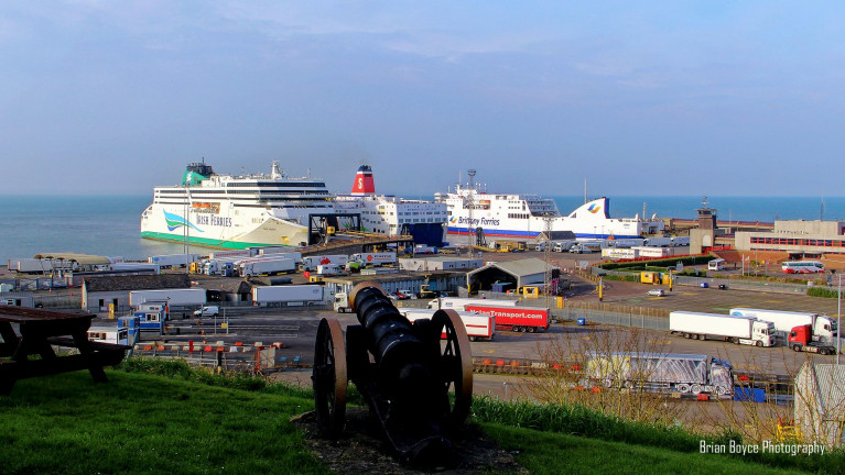
In the south-east, Wexford County Council has announced that it is about begin a public consultation process on the proposed N25 Rosslare Europort Access Road Scheme.
The consultation period writes the New Ross Standard, runs from (next week) Monday June 15 to Monday June 29 offering members of the public an opportunity to have their say and to contribute to the overall development of the scheme.
Wexford County Council is looking to improve access to Rosslare Europort from the N25 National Primary Road, to enhance road safety and facilitate port operations and improvements to Rosslare Harbour.
Following a comprehensive feasibility and constraints study, three scheme options are being considered. Wexford County Council is now giving local residents and the general public an opportunity to provide feedback, comments, and observations to the project team on the constraints study and proposed road options.
Information leaflets are being distributed to almost 700 homes in the vicinity of Rosslare Harbour and members of the public will have an opportunity to submit their observations before the close of business on Monday, June 29.
The Council's Director of Roads and Transportation Services, Eamonn Hore said Rosslare Europort is the State's largest passenger port and the fourth largest container port in terms of overall tonnage.
'Significant growth is forecast in the coming years which combined with the potential impacts of Brexit, will further increase the Port's strategic importance for trade, business and tourism', he said.
'Such growth will bring economic benefits not just to Wexford, but across the South East region and nationally. It is essential that the port's access infrastructure can facilitate this future growth in order to build resilient trade links with Ireland's EU partner states and the UK'.
More on this story can be read here.
Public Consultation: Warrenpoint Port Asks to Hear Views on Dredging Proposal
#Ports&Shipping - The second largest port in Northern Ireland, Warrenpoint Port, is inviting members of the public and other key stakeholders to comment on proposed changes to how dredged material from the harbour is dealt with.
The Co. Down port currently carries out a major dredging programme every two to five years with material disposed of in the Irish Sea.
However, new plans have been put forward to carry out dredging on a more regular but smaller scale, with material placed at a site in the mouth of Carlingford Lough between Cranfield Point and Greencastle.
Clare Guinness, CEO, Warrenpoint Port said: “In order for the Port to continue to support maritime trade successfully, it must ensure a sufficient water depth is maintained to allow for the safe berthing of vessels, which it does through dredging.
“In anticipation of a rise in trade over the coming years, and to ensure the Port continues to thrive as an economic driver to the local region, a new site for the disposal of dredged material is being proposed within the mouth of Carlingford Lough.
“This is also in line with current thinking that dredged material should be deposited as close as possible to source.
“In our role as a custodian of the marine environment, we want to hear the views of all stakeholders, including members of the public, before any plans are put into action.”
A number of surveys, studies and assessments will be undertaken to determine the suitability of the location between Cranfield Point and Greencastle, including marine ecology and sediment surveys, geophysical surveys, and hydrodynamic and sediment transport modelling.
A public drop-in consultation event will take place at Warrenpoint Town Hall on Wednesday 19th September from 4pm to 7pm. There will be an opportunity to discuss the proposed disposal site and the environmental assessment process with Port staff and its consultants Royal HaskoningDHV.


